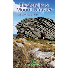
Blackstairs & Mount Leinster Map
1:25,000 Scale Map | 25Series
This is primarily a map of the southern half of County Carlow which features the complete range of the Blackstairs Mountains. The mountain ridge runs along a north-east to south-west axis and forms the majority of the border between Carlow and Wexford. Mount Leinster is the tallest of these peaks at 793m and is the highest point in both counties. To the west of Carlow, the River Barrow provides the natural boundary with County Kilkenny.
The alignment of the ridge makes it possible to climb all of the main peaks in one day. The Wayfarers Association organise the annual Blackstairs Walk. This 31km challenge walk starts from Killanure and finishes at Glynn. All of the ground covered in between features on this map.
The map is drawn to a scale of 1:25,000 and printed on 100gsm Enduro paper which is both weather and tear resistant.
| Map Details | |
| Title | Blackstairs and Mount Leinster |
| Subtitle | |
| Map Detail | 1:25,000 |
| Map Series | 25Series |
| Publisher | EastWest Mapping |
| Edition | 2nd Edition |
| Release Date | 2024 |
| Finish | Water Resistant Paper |
| Postal Weight | 125g |
Blackstairs Mountains Map | EastWest Mapping
- Company: EastWest Mapping
- Product Code: EW BLCK
- Availability: In Stock
-
€14.99
- Ex Tax: €13.21


